Hilltop to Campground
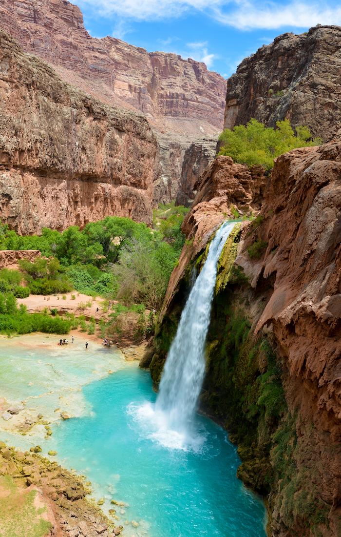
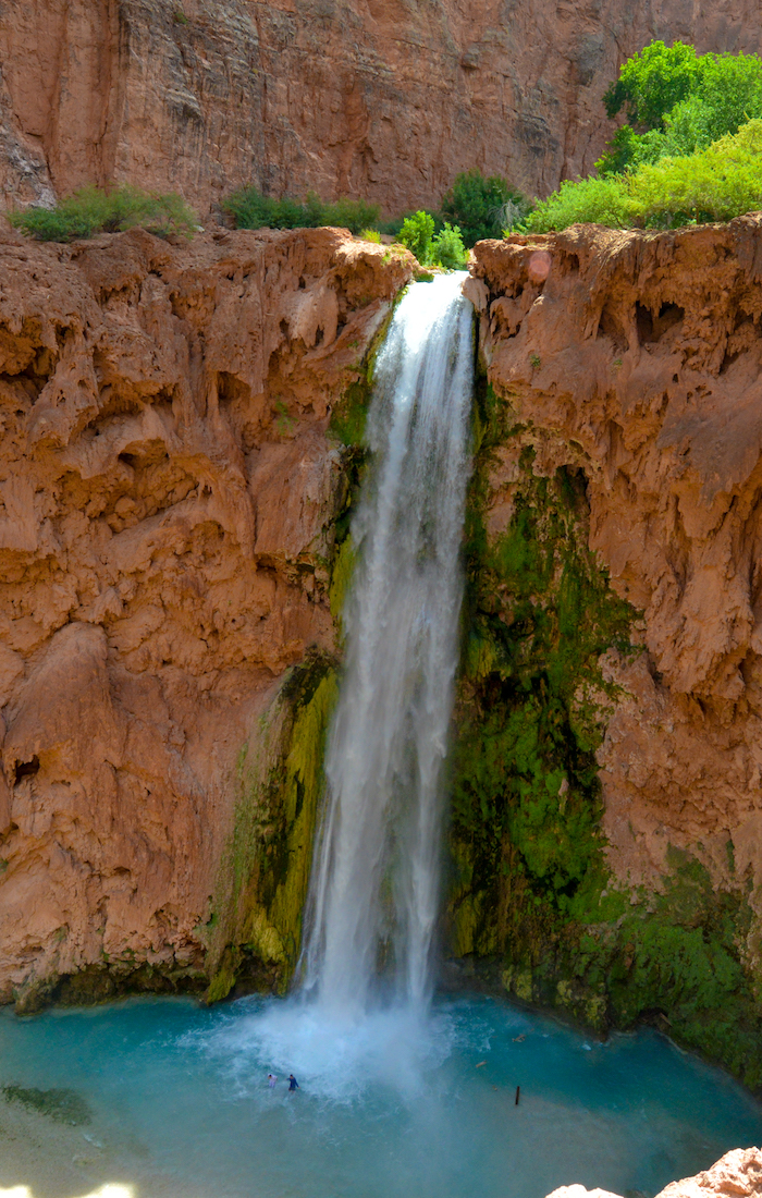
The only way to hike into Havasupai, the trail takes visitors from the canyon rim down to the village of Supai. After the village, take some time to enjoy the beauty of Rock Falls, Fifty Foot Falls & Havasu Falls before reaching the campground.
[shareaholic app="share_buttons" id="27226338"]
Track Statistics
10.21
Miles
Hiking Distance
4.15
Hours & Minutes
Hiking Time
-2700
Feet
Elevation Gain
Difficulty - Moderate
The village of Supai is the only place to still have the US Mail delivered by a mule train.
Overview - The trail descends steep switchbacks for the first mile, then enters a dry creek bed with the canyon rim towering above. Hikers wind through the canyon as the trail descends. The canyon walls begin to rise higher, giving hikers areas of shade. After 6.5 miles, the trail merges with the Havasu Creek. The canyon floor turns lush green with abundant trees and shrubs. Following the trail downstream, the village of Supai is 1.5 miles ahead. A mile after the village is the first look at the spectacular falls that are throughout the canyon. Rock Falls & its cascading waters appear below as the trail overlooks the Havasu Creek (hiking upstream from here leads to Fifty Foot Falls, created after resent floods). The trail then winds up & down the hillside. After about .5 mile, the trail rounds a corner to reveal the beautiful 100 ft Havasu Falls. At this point, the trail is eye level with the top of the falls as hikers look down at the blue-green swimming holes. Just .5 mile ahead is the campground.
Trail Fun Facts - A flash flood in 2008 changed the landscape. As a result of the flood, the creek now bypasses old Navajo Falls. Two falls were created, Fifty Foot Falls (New Falls) & Rock Falls.
Tips - Keep an eye & ear out for the burros packing goods to & from the village. Using the same trail as hikers, mule trains come up quickly & have the right of way (mainly because hikers will lose if trying to stand their ground). Stepping off the trail is recommended while they pass.
Elevation Profile
[sgpx gpx="/wp-content/uploads/gpx/20170906211153-41168-data.gpx"]
Finding the Trailhead
- From Kingman, AZ, take historic Route 66 east to Peach Springs. After Peach Springs, look for Indian Highway 18 on the north side of the road. Take Indian Route 18 for 66 miles to a parking lot. There is abundant wildlife on Route 18, be careful when driving at night. Peach Springs is the last stop for gas & food.
Havasu Falls
Plan Ahead
Bring plenty of water. After Peach Springs on the drive in, the next place to get water is the village of Supai.
Start early to beat the heat. Its best to plan on starting your hike at dawn
The hike out is strenuous. Its up hill the whole way & you'll reach the steep switchback at the end of your hike with the sun beating down.


